
Hike/Bike Trail
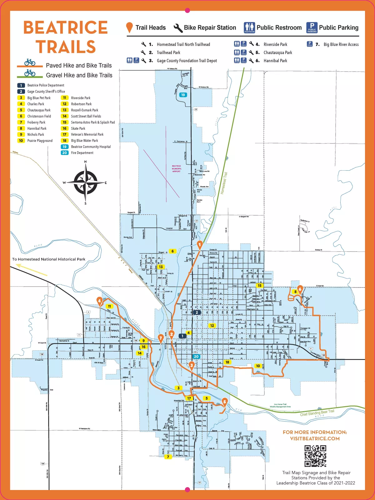
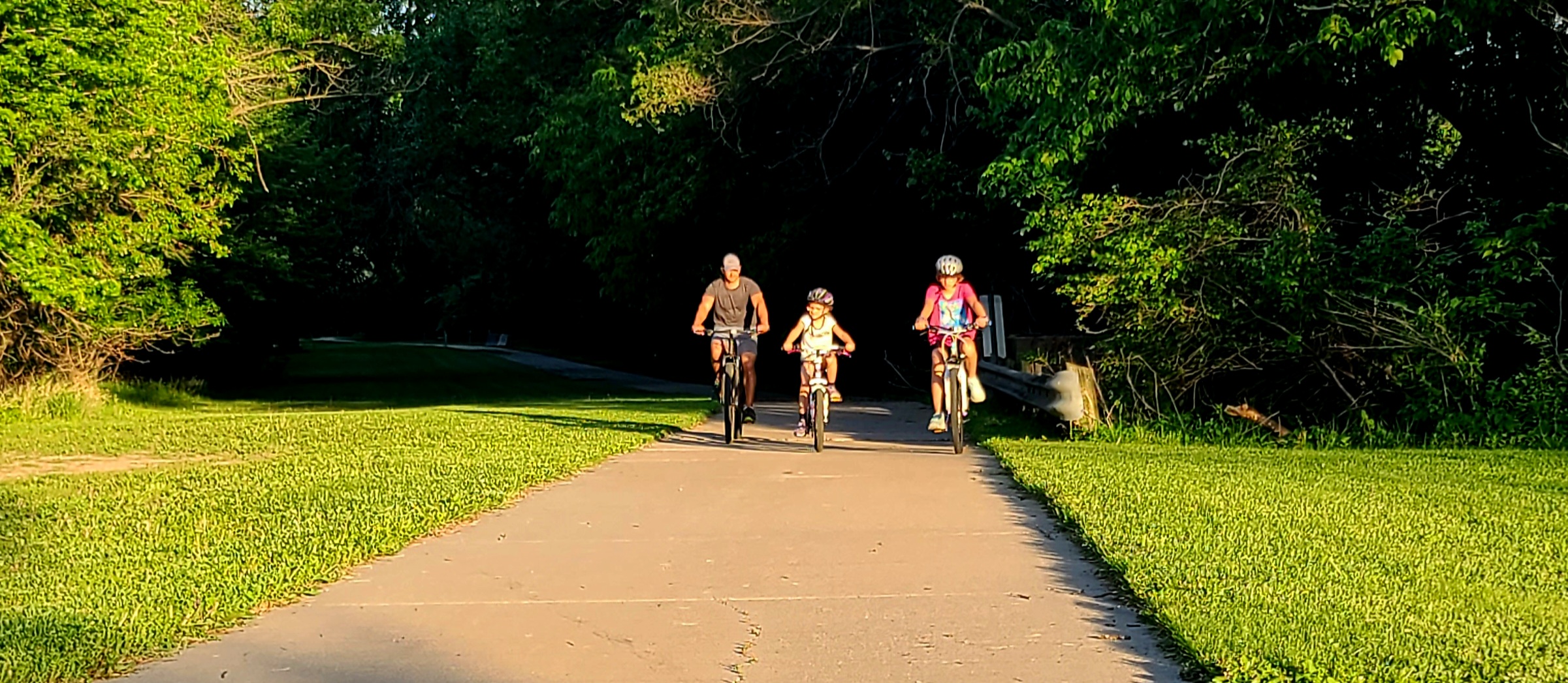
The City of Beatrice offers over ten (10) miles of community trails throughout the City suitable for biking, walking, or jogging. The City also maintains approximately eighteen (18) miles outside the city limits including three (3) miles east of Beatrice, and over fifteen (15) miles of trails between Beatrice and Cortland, Nebraska. The trails are well-marked and groomed and are frequented by residents and visitors alike. The trail connects numerous parks with amenities such as ball fields, shelters, playgrounds, tennis courts, and benches.
Amenities
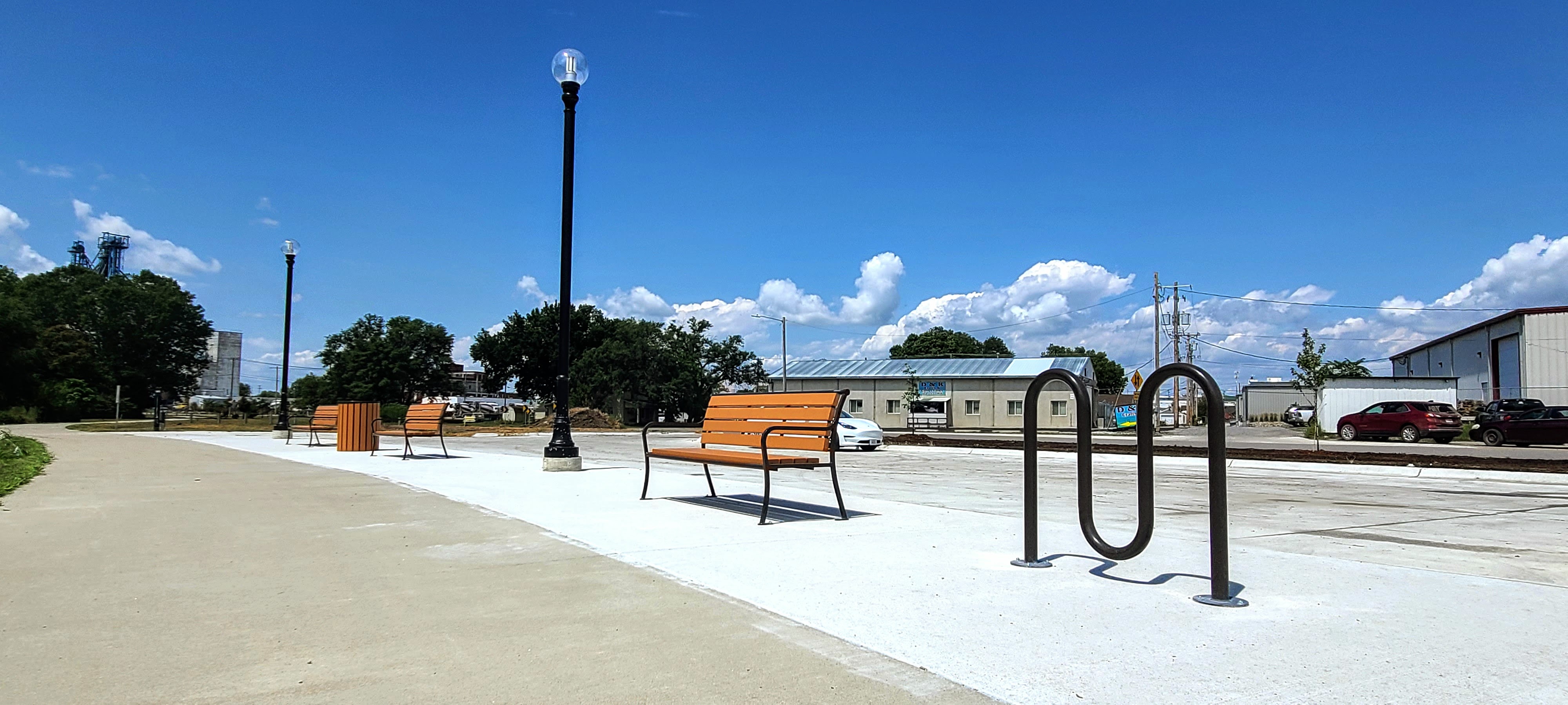
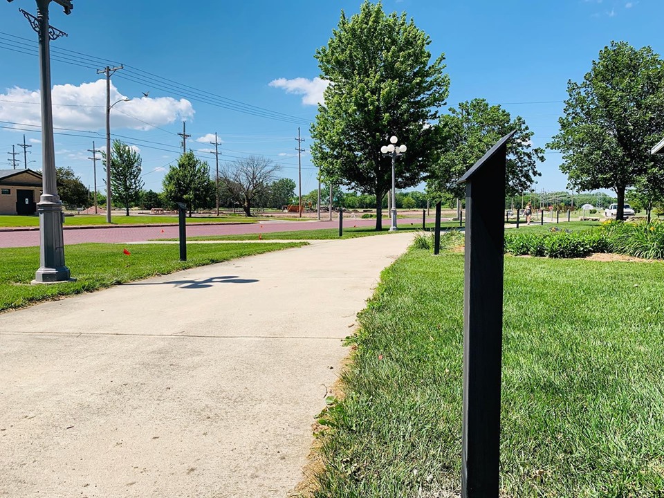
Beatrice's trail system is equipped with a variety of amenities, including way-finding signage, mile markers, restrooms, water stations, bike repair stations, picnic shelters, and seating areas.
Parking Areas
- Chautauqua Park, 9th Street & Grable Avenue
- Riverside Park, Sumner Street & Pleasant Street
- Big Blue Water Park, 12th Street & Scott Street
- Hannibal Park, 2300 Block of Hoyt
- Big Blue River Access, West Court Street & Memorial Drive
- Beatrice YMCA, 1801 Scott Street
- Gage County Foundation Trail Depot, 6th Street & Perkins Street
- Farmers Coop, Pickrell Road, Pickrell, NE
Dogs must be leashed at all times.
To report maintenance, safety, or other problems on a trail, please call the Public Properties Department at (402) 228-5209 or submit a request online.
Directions
Hike and Bike Trails
400 Ella Street
Beatrice, NE 68310
Sign up to our Newsletter
Stay up to date on the city's activities, events, programs and operations by subscribing to our eNewsletters.